
~High Spy~
2nd July 2010
The first of two reports from a brief visit to Lakeland. I pitched my tent at Chapel House Farm Campsite at Stonethwaite, Borrowdale and was spoilt for choice. In considering where to take a late afternoon / evening stroll, I wanted to tread some new paths and keep myself away from the tent until at least 21:00, High Spy caught my eye....
Slate Quarry
Scroll down for photos and a description of the walk
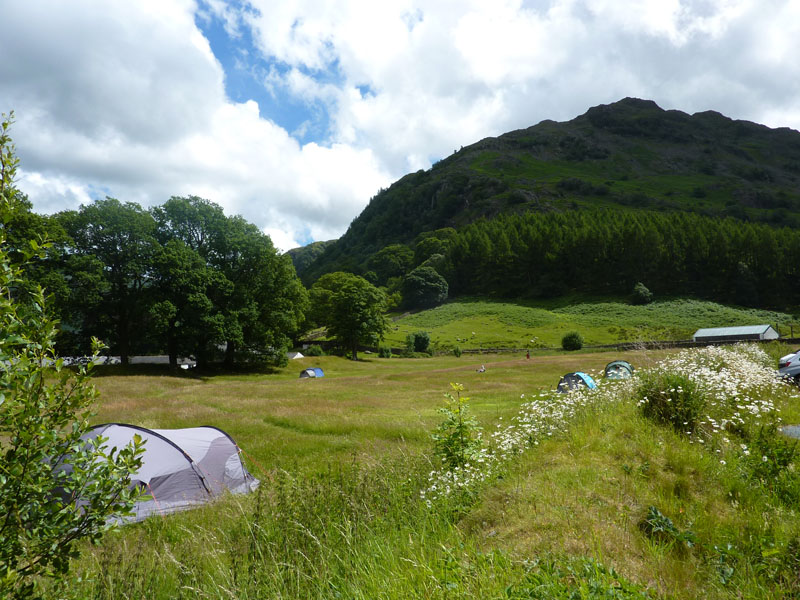
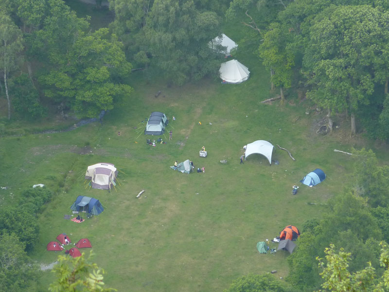
Chapel House Farm Campsite
This campsite is on the road from Rosthwaite to Seatoller. It's amenities are basic, don't expect hot water - but I find lack of amenities tends to lead to less of the rowdy "tourist" campers - they favour certain luxuries and will be found elsewhere in the Lake District. It's 15:00 and I'm setting off in the direction of Grange.
High Spy
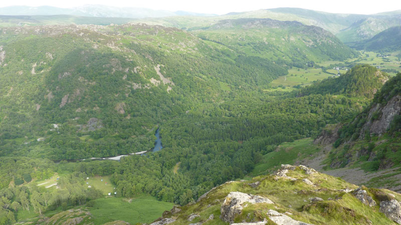
Summit not in view, the rocky outcrops are Goat Crag and Nitting Haws (r) and the top of Castle Crag is seen just above the high point of the wall. The bump in the distance is Catbells. I was going to cross a bridge, shown on my map, at Peat Howe, but it wasn't there, so I had to re-route and head for Rosthwaite.
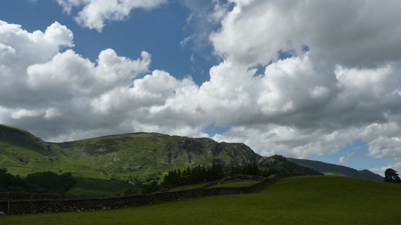
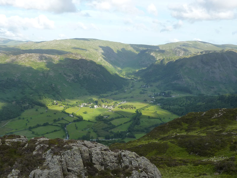
Grange Fell
The River Derwent heads towards Grange Fell, Castle Crag on the left. The river has been fuelled by very recent rainfall, my camping trip has been timed to fit in between rain on Thursday/Friday morning and expected wet and windy weather on Sunday. I'm not going to the top of Castle Crag, I will follow the "Allerdale Ramble" on the east side of the only sub-1000ft "Wainwright".
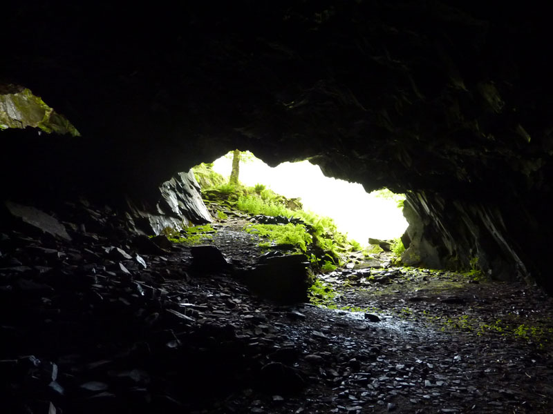
Millican's Cave
Found on the north side of Castle Crag, there's no danger here, other than slippy rocks and low ceilings.
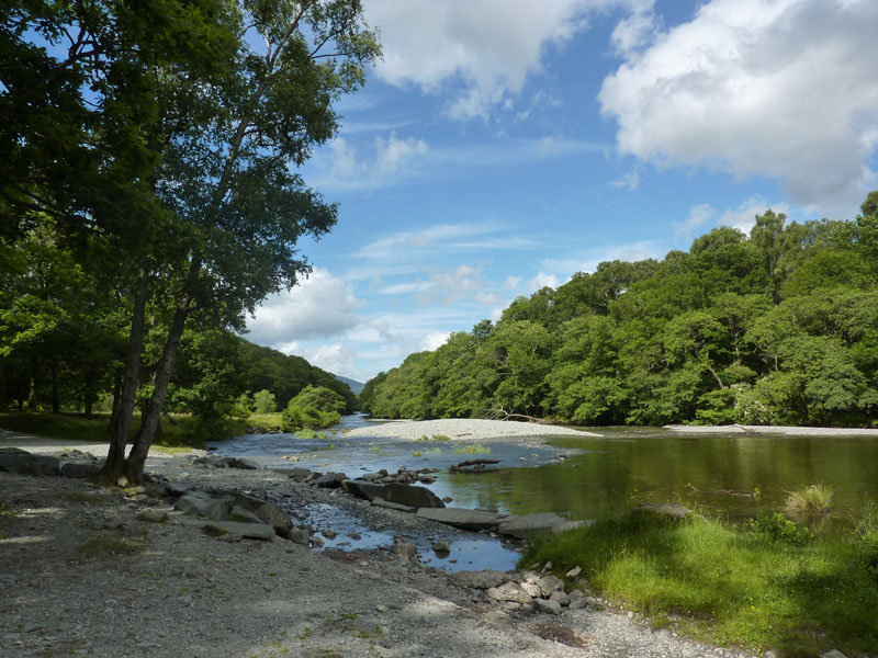
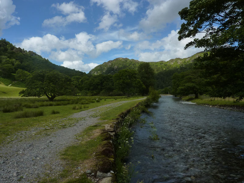
River Derwent
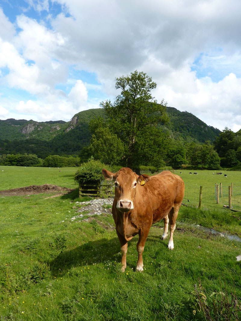
Cow
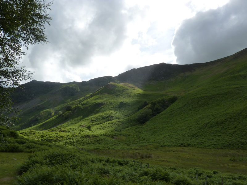
Cockley How
The ascent route, for me at least, will go straight up the beck to the right of the sunlit Cockley How, no need to use the footpath when there's a decent scramble on offer. Thereafter it's off to Nitting Haws (far left) for views of Borrowdale.
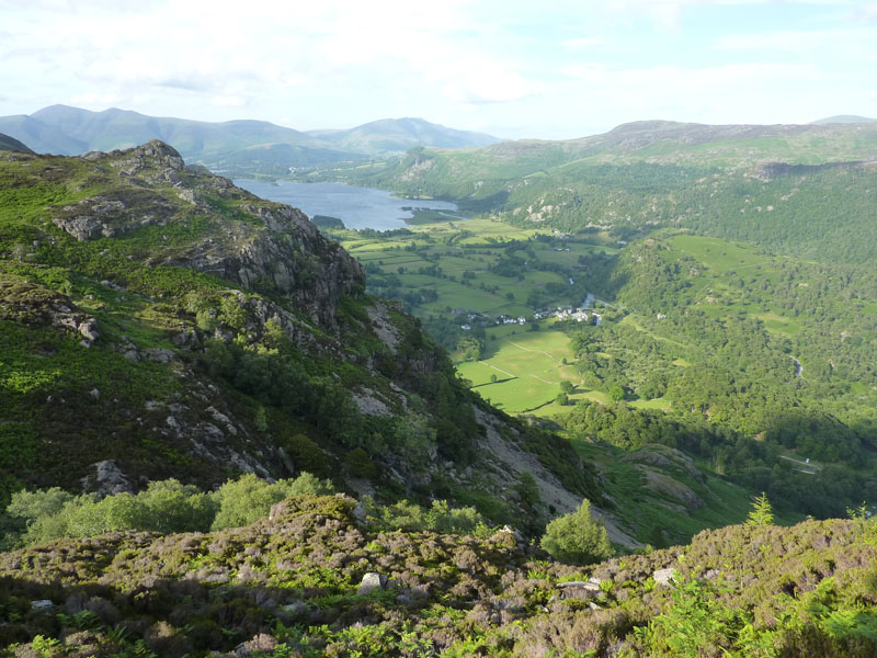
Borrowdale from Nitting Haws
I took plenty of photos, as usual, and then took a bee-line for Goat Crag, through leg-scratching heather and up steep crags.
Nitting Haws from Goat Crag
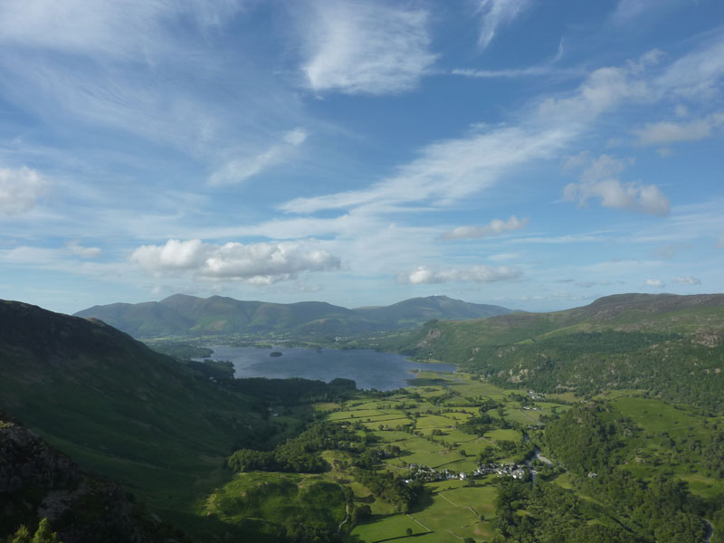
Derwentwater
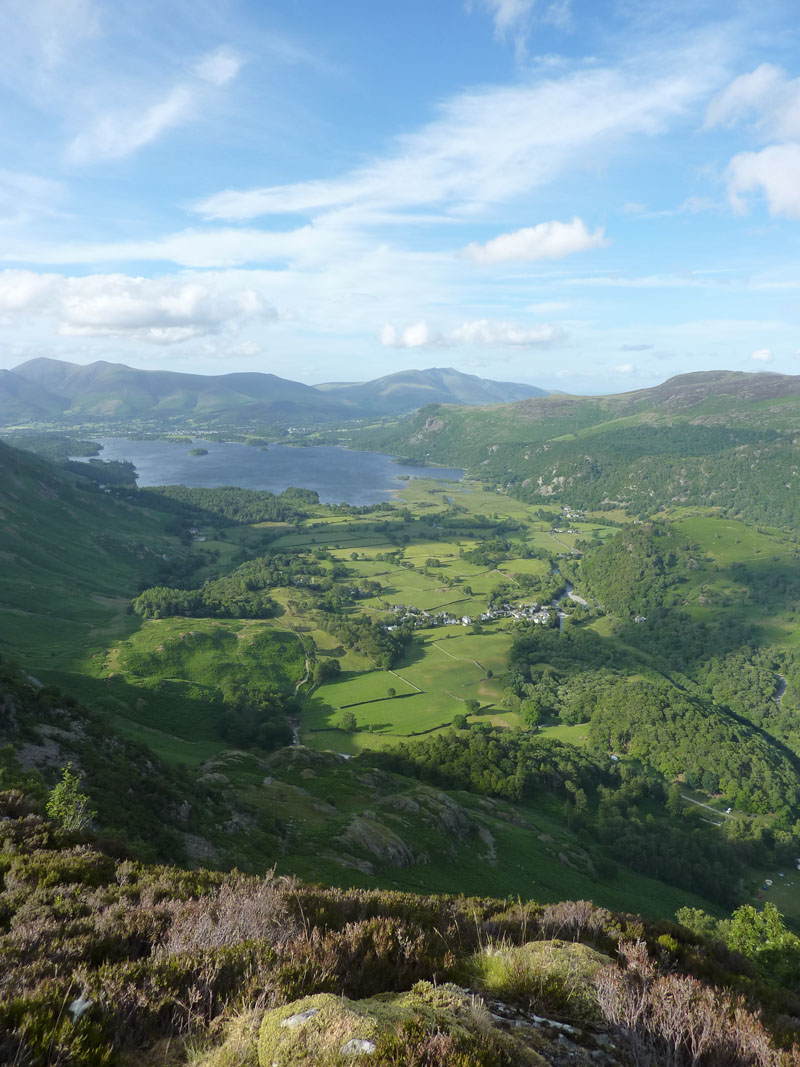
Derwentwater and Skiddaw
The village below is Grange, the wind is gusty and the surface of the lake confirms this fact.
Grange Campsite
I walked through this campsite earlier. Therein are two bell tents and two yurts, for more information on a different way of camping, try this link (opens in new window) Insideout Camping.
Rosthwaite in Borrowdale
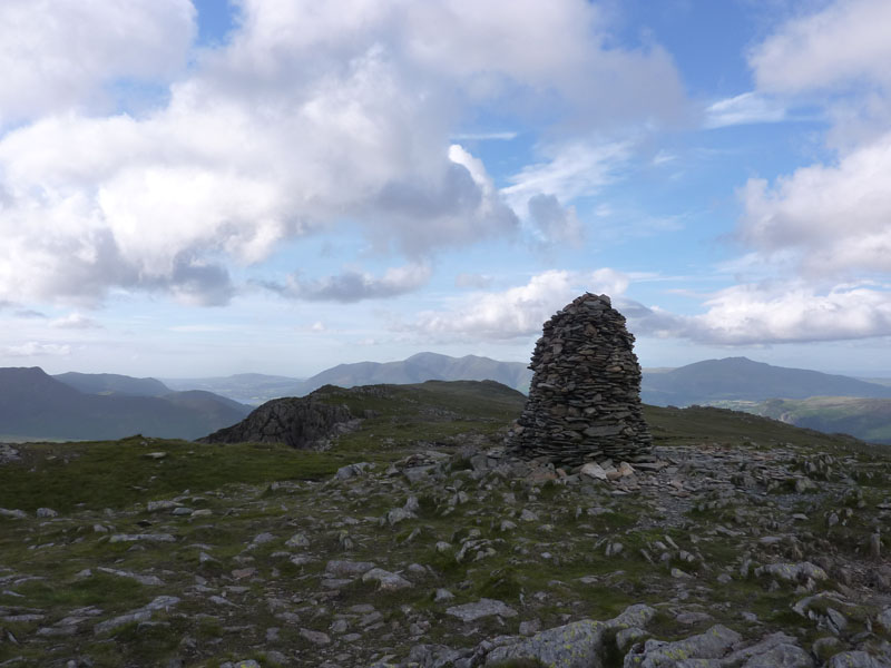
High Spy
The summit of High Spy, very windy now. A fine cairn. Looking towards Skiddaw, Maiden Moor is the next in line, Blencathra is over there to the right. I have been along this route a couple of times in the past, but this approach to the ridge via Nitting Haws has been very rewarding in terms of views and scrambles (not necessary, if you stick to the paths).
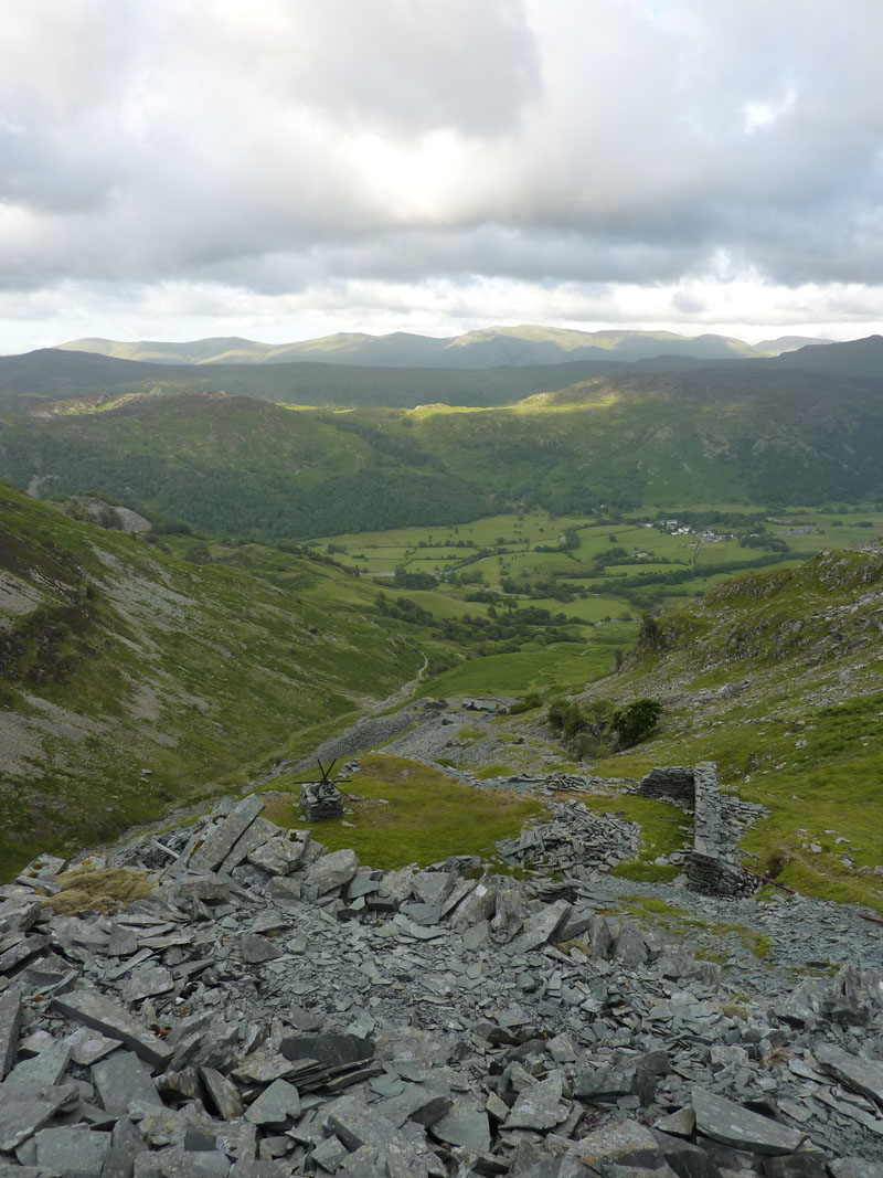
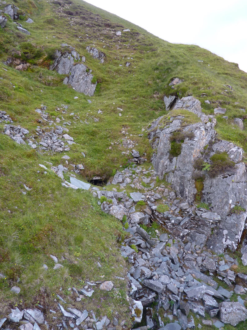
Rigghead Quarries
My descent route took me through the disused workings of Rigghead Quarries. As a rule, size of spoil heap is roughly equal to the size of quarry / mine, so I went looking for big holes in the ground to see what I could see.
Mine Entrance
This tiny hole is in front of the biggest spoil heap, but great effort has been made to prevent entry and I decided that it would not be a good idea to crawl through the opening.
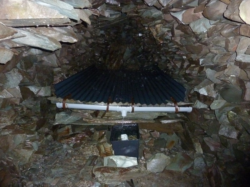
Water Gatherer
Within one mine is this water collector, drips fall on to the corrugated surface, run into the gutter, down the spout into the tank and the fairy liquid bottle is perforated to allow water through and "bits" sediment out at the bottom of the tank. I think the supply feeds the Rigg Head Hut, further down.
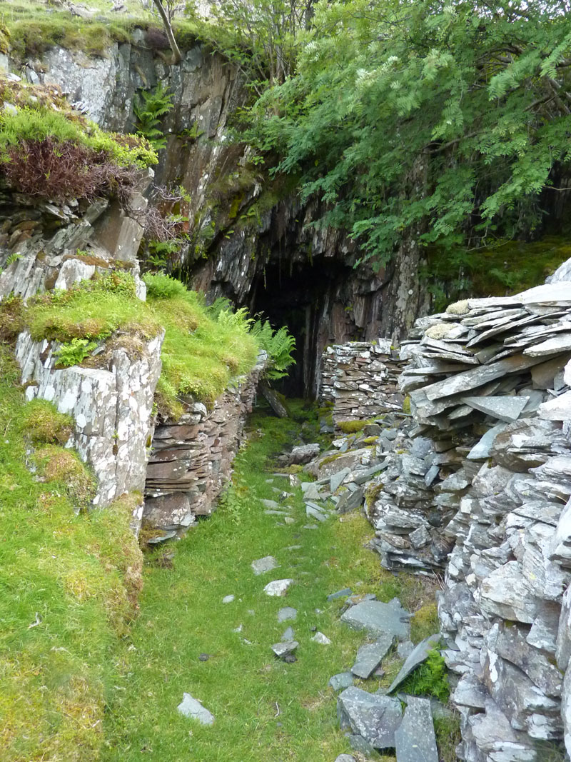
The Big Hole
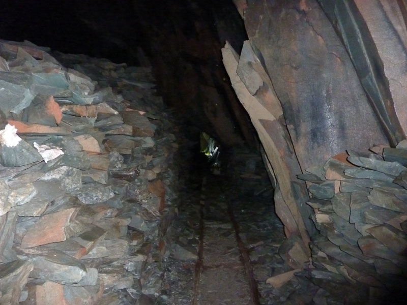
In the Mine
Railway track still in place, this is a huge cavern (behind the camera). Enter at your own risk, take two torches and be careful.
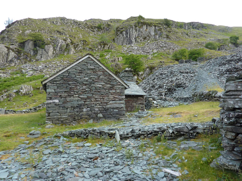
Rigg Head Climbing Hut
Not sure about the owner / use of this hut. Time is moving on and I am on schedule for a late evening finish.
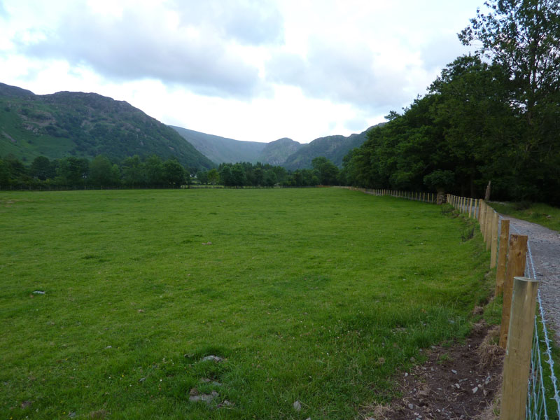
Rosthwaite Fence
Walkers in Borrowdale will notice many new fences this year, a result of the devastation caused by last year's floods.
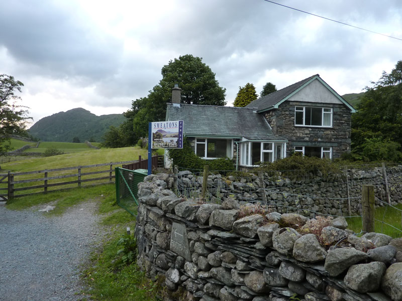
House For Sale
Go on, take a guess, answer at the foot of the page.
T
The walk was a success and tea was served at 21:30 or thereabouts.
Walkers: Just Me.
Time taken: 6hrs 20 minutes over a distance of about 8 miles. That looks slow, doesn't it! Don't forget, lots of quarry investigations, ghyll scrambles, long sit overlooking Borrowdale and generally easy-paced walking.
Route: Stonethwaite, Peak Howe (reverse), fields to Rosthwaite, New Bridge, Castle Crag flank, Grange campsite, Swanesty How, Cockley How, Nitting Haws, Goat Crag, High Spy, Wilson's Bield, Rigg Head Quarries, New Bridge and retrace the route back to the campsite.
Weather and conditions: Sunny Intervals and rather breezy.
Greetings Count: Generally quiet, especially on the fells, no one else on High Spy at this time.
Richard's Refreshment Review: Tea as above. The house is for sale at £495,000.
All photos copyright Richard Ratcliffe 2010 ©
Take me back to the start ....